District Divide
Description
This is an auxiliary script that divides POIs by polygon for buffer analysis.
Toolbox script Structure
The tool requires the following 4 main input fields: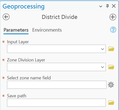
Input Parameters
Input Layer
This field specifies the point layer that needed to be divided.
Zone Division Layer
This field specifies the polygon layer define the boundary of each zone.
Select zone name field
This field specifies the field that defines zones for the polygon layer.
Save path
- Enter the base name for the output.
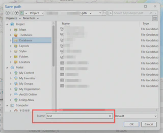
- The results will be automatically saved as
shapefiles (.SHP)orfeature classesin a file geodatabase, depending on the output path you specify.
Run the script
After setting all parameters, click Run to execute the script.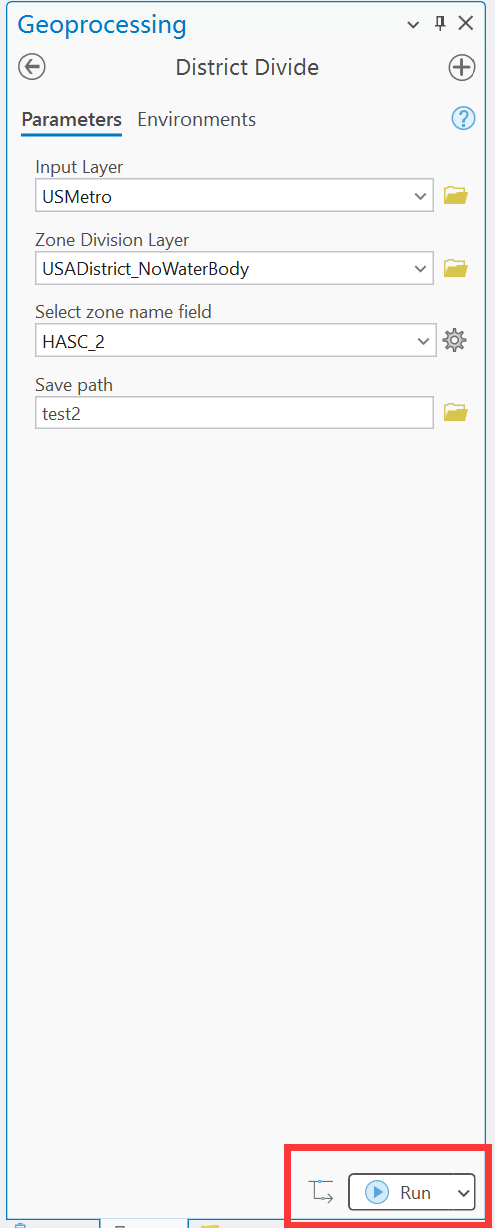
Result structure
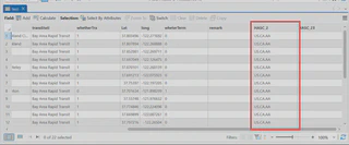
The output contains a field that stores the zone names, named after the Select zone name field you selected.